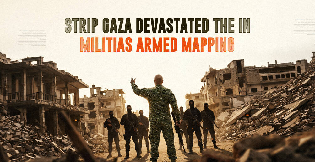
Through ‘Two Lines’: How Israeli Occupation Turned the Truce into a Tool to Swallow Two Thirds of Gaza
The Israeli Occupation army chief Eyal Zamir described the “yellow line” as a “new border line.”
When the “ceasefire” was announced on October 10, 2025, residents of Gaza hoped it would bring a quiet return to their homes, but calm did not translate into freedom of movement. Instead, Israeli Occupation military lines divided the territory and confined people to an increasingly restricted space.
One of these demarcations, known as the “yellow line,” was drawn by “Israel” to mark the deployment of its occupying forces after the truce. It was later followed by a second, “orange line” that further widened the areas off-limits to residents and humanitarian organizations.
What Is Behind the Lines?
The origins of the “yellow line” trace back to the first day of the truce. It was presented as “a temporary” deployment boundary agreed upon when the Israeli war “stopped,” separating areas of direct Israeli military control in eastern Gaza from those where Palestinians were still allowed to remain.
Early maps released alongside the agreement showed that the “yellow line” effectively placed about 53 percent of the Gaza Strip under Israeli control, forming an occupation belt that in some areas reached up to seven kilometers deep.
That zone includes much of Gaza’s farmland, high ground, and border crossings, effectively compressing more than two million Palestinians into a narrower coastal and central corridor.
But the Israeli Occupation continued to encroach on the land until the share reached 58 percent, according to an analysis by the British research organization Forensic Architecture and the Israeli rights group Gisha. On the ground, the yellow line sometimes appears as ordinary yellow concrete blocks placed by bulldozers on dirt roads or in the streets of destroyed cities, but in other areas it remains a virtual line.
In December 2025, a Reuters investigation found satellite imagery showing concrete blocks shifted about 200 meters west in Gaza’s al-Tuffah neighborhood, resulting in the demolition of roughly 40 buildings and the construction of new military fortifications.
Along the same line, Israeli Occupation forces have reshaped the landscape with earth berms, checkpoints, watchtowers, and scattered concrete barriers.
The gradual encroachment has been repeated elsewhere. The Guardian described how residents of Shujaiya in eastern Gaza woke up one morning to find the line had quietly moved deeper into their land, without warning.
For residents like Mahmoud Qweider from al-Tuffah, the fear is that this is not a temporary deployment line at all, like the Israeli Occupation claims, but a new permanent border.
“The Israeli Occupation had expanded the yellow line westward by up to 500 meters in many areas, increasing its control,” he told Al-Estiklal.
He added that as the advance moved further west, he and his entire family were forced to leave the area in February 2026 out of fear that the Israeli Occupation army would reach their neighborhood.
“Land is being encroached upon, and the yellow line is being expanded without warning.”
Even the Associated Press (AP) has noted that the line is not always physically marked, and in some places it exists only on maps, displaced by up to half a kilometer from what is shown in official documents.
By March 2026, humanitarian organizations received updated maps introducing a second line: “an orange line” marking an additional restricted zone. Entry into this area requires prior coordination with the Israeli Coordination of Government Activities in the Territories (COGAT).
Unlike the “yellow line,” the orange line is not visible on the ground. It is a mapped restriction that in places runs 200 to 500 meters beyond the original boundary, further tightening access for civilians and aid groups.
According to the maps reviewed by the organizations, the orange line adds about 11 percent of the Gaza Strip to the Israeli-restricted area, meaning the area already defined by the yellow line.
By adding this area to the territory east of the “yellow line,” Jad Isaac, director of the Applied Research Institute-”Jerusalem” (ARIJ), estimates that Israeli Occupation control or restriction now covers about two-thirds of the Gaza Strip (64 percent), according to Reuters.
He said the new line compresses nearly two million Palestinians into a narrow coastal area, adding that the aim is to place the largest possible number of people in the smallest possible space.
The “orange line” means that any person or vehicle located between it and the “yellow line” must coordinate with the Israeli Occupation army, or risk coming under fire.
What It Means for Palestinians
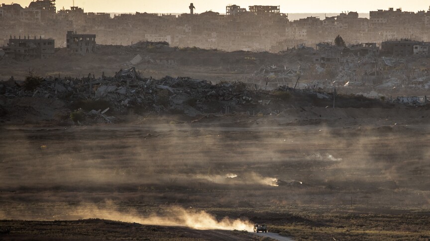
The two lines effectively split the Gaza Strip into three distinct zones. The largest lies east of the “yellow line,” where Israeli occupation forces are deployed and residents are barred from returning.
This area covers much of eastern Gaza, from Beit Hanoun to Rafah, and has effectively become a military operations zone. Homes and infrastructure have been destroyed, and humanitarian access is tightly restricted.
The second area is the occupation belt between the two lines, where residents of Deir al-Balah and Jabalia fear crossing invisible boundaries and coming under fire.
According to a February 2026 report by the UN Office for the Coordination of Humanitarian Affairs (OCHA), around 1,800 families living near “the orange line” have no access to water, food, or adequate shelter and are repeatedly displaced when the line suddenly shifts.
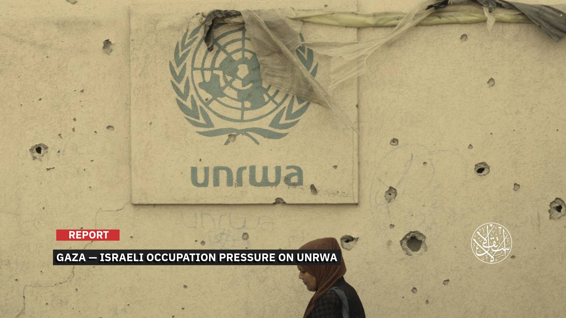
In its latest update, the UN Relief and Works Agency (UNRWA) said the expansion of the “orange line” has brought 10 additional facilities, including schools and shelters, into the restricted area, raising the total number of its facilities located behind the line or in areas requiring Israeli Occupation approval to 127.
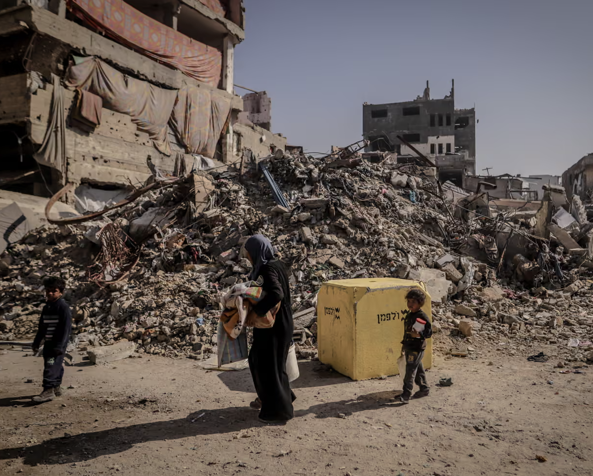
The third zone is the coastal strip west of the “orange line,” where overcrowding has reached extreme levels. This is where most of Gaza’s more than two million residents are now concentrated.
Most of Gaza’s population has been pushed into this strip, which makes up only about 36 to 40 percent of the territory, according to Palestinian estimates. In this area, tents are overcrowded, disease is spreading, and shortages of clean drinking water, food, and fuel are worsening.
Movement within the area is also not safe, with the risk of intermittent airstrikes or artillery fire and no guarantee that the lines will not advance again.
Gaza-based journalist Yasser Mohamed says these three divisions create a tiered system of rights and privileges, noting that those beyond the “yellow line” have no right of return until further notice.
“Those living between the two lines are subject to the mood of a military force that may open fire on them, while those west of the ‘orange line’ face overcrowding and severe deprivation,” he told Al-Estiklal.
“Through this system, the Israeli Occupation is reshaping Gaza’s society, economy, and land, making access to water, food, and shelter dependent on military assessments and decisions.”
The human toll underscores the danger. OCHA and the UN Human Rights Office recorded 167 Palestinians martyred near the “yellow line” and 216 others elsewhere during the first three months of the truce.
The Guardian reported that UN data showed 269 of 700 post-truce martyrs killed near the line, including more than 100 children.
Since mid-March, three Palestinians working with foreign aid organizations have been martyred, including two with UNICEF and one with the World Health Organization, in the area between the two lines.
The UN Human Rights Office has warned that killing civilians simply for approaching a military line is a war crime, stressing that many Palestinians are being killed because they do not know where the shifting lines actually are.
COGAT claims the aim is to reduce friction and facilitate aid delivery, but rights groups argue the system is creating a de facto partition of the enclave.
The Palestinian Policy Network (al-Shabaka) said shifting the line by hundreds of meters and turning areas into coordination belts is a form of undeclared annexation.
Concerns that the new lines could become permanent are not limited to Palestinian or UN analyses; Israeli Occupation army chief Eyal Zamir has explicitly described the “yellow line” as a “new border line” and said during an incursion into Gaza that his forces control “large parts of the Strip” and will remain on current “defensive lines.”
He added that the “yellow line” functions as an “advanced defense line” for Israeli Occupation settlements and an “operational activity line,” a description that turns the truce boundary into something closer to a permanent military border rather than a temporary deployment position.
This language aligns with more political statements, as Israeli Prime Minister Benjamin Netanyahu said on March 31 that more than half of Gaza’s territory is under “Israeli control.”
War Minister Israel Katz also said in February that forces would remain in the “yellow line” areas and would not move “a single millimeter” until Hamas is disarmed, something the Palestinian Resistance Movement rejects.
Sources
- Gaza Humanitarian Response | Situation Report No. 69
- Gaza Now: November 25, 2025
- Gaza’s ‘orange line’: Israel expands control beyond ceasefire limits
- Gaza’s yellow line creeps forward as Israeli forces expand zone of control
- How Israel moved its 'Yellow Line' deeper into a shattered Gaza City neighbourhood
- Israeli troops kill Palestinians for crossing a vague ceasefire line that’s sometimes unmarked
- Israel’s Yellow Line in Gaza: Annexation without Legal Burden
- Humanitarian Situation Update #355 | Gaza Strip