Using AI: How ‘Israel’ Is Accelerating the Demolition of Palestinian Structures in the West Bank
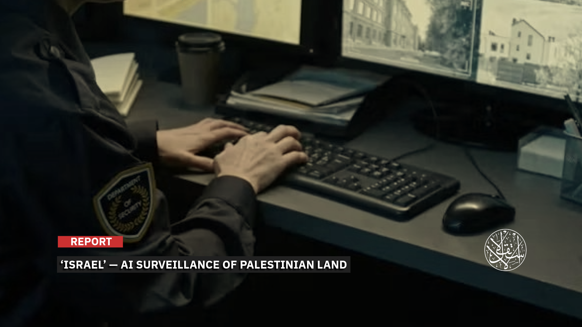
Israeli oversight operates within a system that restricts Palestinian construction while expanding settlement activity, demolitions, and land confiscation.
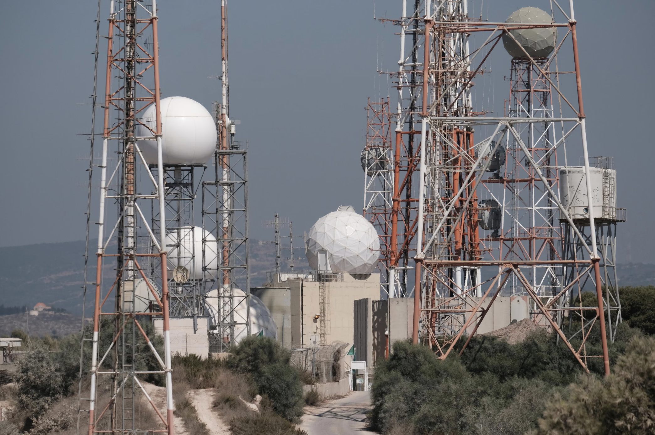
In recent years, the Israeli authorities have expanded the tools used to monitor Palestinian construction in the West Bank, adding aerial imagery, drones, digital maps, and intelligence tools powered by artificial intelligence to patrols.
This has increased their ability to detect buildings, expansions, roads, and newly established agricultural structures.
The impact of this system is particularly concentrated in Area C, which accounts for about 60 percent of the West Bank, excluding East Jerusalem, and where “Israel” retains control over security, planning, and construction.
By contrast, the Palestinian Authority exercises civil and security administration in Area A, while Area B is under Palestinian civil administration, with “Israel” retaining security control to varying degrees.

How Does It Monitor Palestinian Construction?
In July 2026, a study by Digital Palestine, a center specializing in research on artificial intelligence and algorithmic governance, concluded that the Israeli authorities had introduced AI-based technologies into the system for monitoring the West Bank since 2023.
According to the study, these technologies enable changes on the ground to be detected automatically and the monitoring results to be linked to demolition and confiscation measures.
The study drew on Israeli government documents, materials from the companies that developed the technologies, and human rights reports.
It traced the transfer of a model previously used against Palestinian Bedouin communities in the Negev to the enforcement system in the West Bank, alongside the establishment of a new branch within the Land Protection Division of what is known as the Israel Land Authority.
In April 2025, the Israeli authorities established a unit within the Israel Land Authority to operate in the West Bank and identify Palestinian construction that it describes as “illegal,” according to a report by the UN Secretary-General.
In September 2025, Peace Now, an Israeli organization that monitors settlement activity, revealed that the Finance Ministry had requested 21 additional positions to establish what it calls the “Judea and Samaria Brigade” (the West Bank) within the Land Protection Division, increasing the division’s personnel by about 20 percent.
The organization said that the division uses advanced AI-based tools to detect what it describes as “encroachments.”
This coincided with an increase in the budget of the Civil Administration’s inspection unit to 25.3 million shekels, in addition to approximately 33 million shekels annually allocated by the Settlement Ministry to fund land patrols operated by settlement councils. (The dollar is equivalent to approximately three shekels.)
The Land Protection Division operates ImiSight, a system developed by Israeli defense company Rafael Advanced Defense Systems, based on optical intelligence technologies.
It uses artificial intelligence and machine learning to analyze images and compare the same location at different points in time.
The system can detect buildings, roads, vehicles, infrastructure, and other changes using satellite, aerial, and drone imagery. It then geolocates the identified sites and sends them to inspection teams.
This has shifted the process of searching for new construction from relying solely on field patrols to repeatedly monitoring large areas.
The model was first developed and tested in the Negev, where the Israeli authorities used it to monitor Palestinian Bedouin communities and detect new construction.
In an experiment covering the Negev and Wadi Ara, an area with a Palestinian-majority population inside “Israel”, comparing two images taken 40 days apart produced 354 indications of changes on the ground, including 336 in the Negev.
Inspectors then visited the sites to verify the findings, and the results of their inspections were fed back into the system to improve its classification capabilities.
By 2024, the Land Authority announced that ImiSight had surveyed 10,735 square kilometers and identified 1,263 suspected areas before referring them to analysis and inspection teams. This illustrates the scale of the capabilities available to the division, which later established a dedicated branch for operations in the West Bank.
The Land Authority’s entry into the West Bank was preceded by a government-funded monitoring network in Area C. Since 2021, the Settlement Ministry had allocated approximately 19 million shekels to land-monitoring units in 13 settlement councils and authorities.
The funding covered 21 field monitors and 21 drones, some equipped with thermal imaging, as well as aerial imagery, geographic information system (GIS) software, and cameras capable of transmitting images remotely.
Documents obtained by Kerem Navot, an Israeli organization monitoring land and settlement policies, showed that information collected by these monitors was passed to various bodies, including the Civil Administration, which exercises planning, construction, and demolition powers in Area C.
In March 2025, an investigation published by the British newspaper The Guardian and the Israeli magazines +972 and Local Call, based on interviews with sources involved in developing tools for Unit 8200, the Israeli military intelligence unit, found that machine-learning models had expanded the unit’s ability to monitor Palestinians in the West Bank.
One source familiar with the matter identified monitoring Palestinian construction in Area C as one of the uses of these tools.
The models examined in the investigation focus on processing communications, text, speech, and intelligence data, adding another layer to the network of aerial imagery, drones, maps, and field monitors tracking changes in Palestinian presence and construction on the ground.
What Has Artificial Intelligence Changed?
The experience of Umm al-Fahm, a Palestinian city in the Triangle area within the 1948 territories, southeast of Haifa, illustrates the value of early detection for the Israeli authorities.
ImiSight detected a building while it was still under construction, identified its location, and sent inspectors a navigation link leading to the site.
They arrived before the building was completed and halted the work, while a neighboring building had already been completed and occupied, resulting in longer legal proceedings.
Shira Tam, who previously headed the Land Protection Division at the Israel Land Authority, linked this capability to the limitations of the inspection system.
Around 60 inspectors were responsible for monitoring 22 million dunams, meaning that the detection of construction had previously depended largely on an inspector passing by the site while construction was underway.
Automated monitoring changed the starting point of the inspector’s work. The algorithm can compare large areas, identify specific locations, and then send inspectors to verify them.
This makes it possible to reach construction at an early stage rather than waiting for it to be discovered during field patrols.
The significance of this shift is evident in the system’s ability to repeatedly scan the same area, sort through hundreds of changes, and identify their coordinates, while the human element shifts from searching for construction to inspecting a list of sites that the system has already identified.
“Israel’s” objective in pursuing this speed is reflected in a document prepared by the Intelligence Ministry on June 7, 2021, concerning what it described as the “battle over Area C.”
The document called for the creation of a “continuous situational picture,” the provision of early warning, and the involvement of civilian bodies in information gathering, monitoring, data sharing, and the use of advanced technological tools.
In the section dealing with enforcement, the ministry recommended strengthening the Civil Administration, the military’s Central Command, the police, and inspection bodies by providing them with additional resources and powers.
It also called for expanding the tools used to remove what it describes as “new construction,” thereby linking the speed of detecting construction to the ability of the Israeli authorities to halt or demolish it at an early stage.
This capability operates within a planning system that closes off most legal avenues for construction to Palestinians, according to data obtained by Bimkom – Planners for Planning Rights, an Israeli organization.
The organization said that Palestinians submitted 5,071 building-permit applications in Area C between 2021 and 2024, of which the Israeli authorities approved only 22, or 0.4 percent. During the same period, 9,385 settlement housing units received permits.
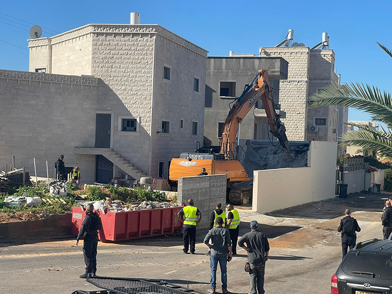
In 2024, the Israeli authorities demolished 862 Palestinian structures, compared with 39 structures inside settlements. Bimkom says these figures reflect a discriminatory planning system that expands settlements while preventing the development of Palestinian communities.
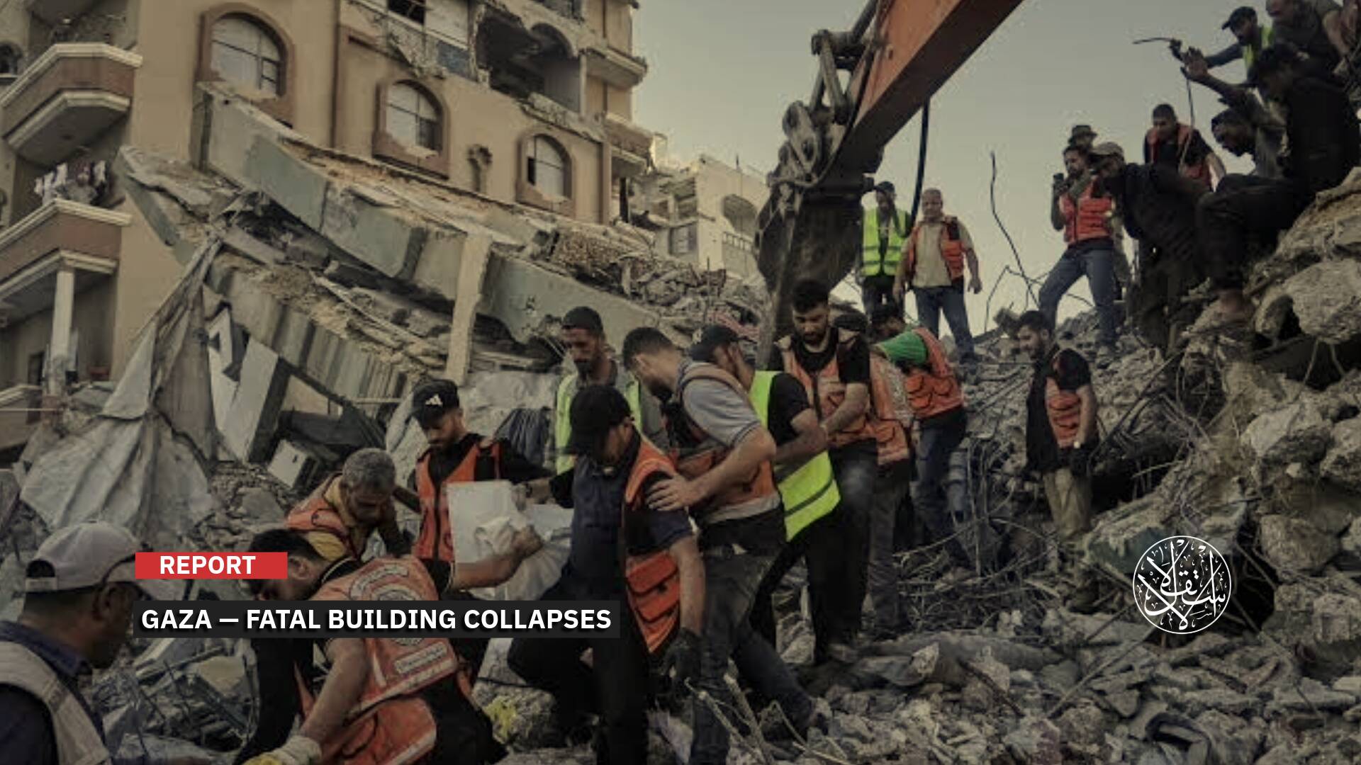
Demolitions increased in 2026. According to the UN Office for the Coordination of Humanitarian Affairs (OCHA) in the Occupied Palestinian Territory, Israeli authorities had demolished around 700 Palestinian structures in Area C by August 7, citing the absence of Israeli-issued permits, in addition to approximately 170 structures in East Jerusalem.
The monthly average of demolitions in the two areas since 2024 has been at least twice the average recorded over the previous 15 years.
On May 25, 2026, OCHA had recorded that 71 percent of approximately 400 structures demolished in Area C since the beginning of the year were agricultural structures or structures related to livelihoods, water sources, or sanitation.
This extends the impact of the Israeli authorities’ enforcement measures beyond homes to the basic means of Palestinian subsistence and economic activity on the land.
Monitoring as a Tool for Control Over Land
A 2021 Intelligence Ministry document places construction monitoring within a geographic policy that treats Area C as a contested arena over land and identifies locations that the Israeli government prioritizes for monitoring and enforcement, including major road corridors and the Jordan Valley.
In particular, this includes areas near Route 90, which runs along the eastern side of the West Bank, areas between settlement blocs and Jerusalem, the seam zone, and sites containing infrastructure, communications facilities, and military training grounds.
As a result, the location of Palestinian activity, and its proximity to roads, settlements, and corridors that the Israeli authorities seek to retain control over, becomes part of determining which activities receive priority for enforcement.
The activities monitored include the construction of agricultural roads, retaining walls and terraces, land leveling, the erection of fences, the digging of wells, the laying of water pipelines, and the construction of water tanks and drainage channels, as well as the installation of agricultural structures and equipment. This means the monitoring system targets patterns of Palestinian land use alongside residential buildings.
Aerial imagery, maps, and drones make it possible to compare these changes over time and link them to proximity to a settlement, a road, or land that “Israel” has designated as purported “state land.” As a result, agricultural, water, and local road projects themselves can fall within the scope of enforcement.
The connection to the settlement project is also reflected in the role played by Ze’ev “Zambish” Hever, secretary-general of the Amana settlement movement and one of the prominent settlement leaders in the West Bank, in promoting the “Land Guard” project.
The project was presented as a means of gathering information on Palestinian activity in open areas and on land that settlers regard as “state land” or as potentially eligible for such a designation, and then prompting the Israeli authorities to intervene.
Through this project, the government gave settlement councils a direct role in the information-gathering network that supplies the Civil Administration with data on Palestinian land use.
The expansion of monitoring coincided with government measures aimed at tightening control over land administration itself. On February 8, 2026, the Israeli security cabinet approved a package of measures that included opening land registries, facilitating Israeli purchases of land, and expanding Israeli powers over planning and enforcement.
These measures were announced by Finance Minister Bezalel Smotrich, who also holds broad powers over civil affairs in the West Bank within the Defense Ministry, as part of a policy aimed at strengthening Israeli control and undermining the possibility of establishing a Palestinian state.
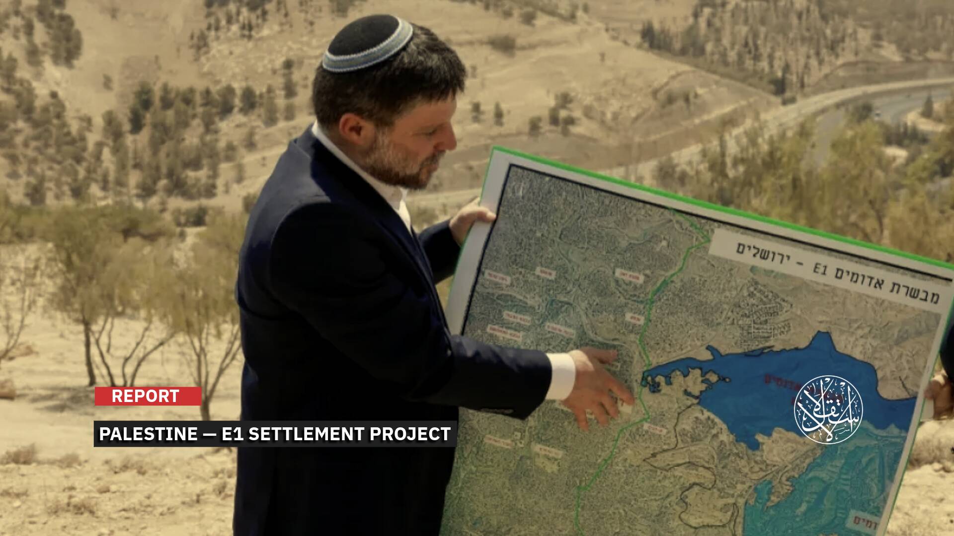
Peace Now warned that the measures would expand Israeli acquisition of land and weaken the Palestinian Authority. On September 17, 2026, the Israeli authorities issued a tender for an additional 2,167 settlement housing units as part of the E1 project between the settlement of Ma’ale Adumim and East Jerusalem.
This brought the number of units put out to tender in the project to 3,401. Settlement development in this corridor would separate East Jerusalem from its Palestinian hinterland and disrupt geographic contiguity between the northern and southern parts of the West Bank. Smotrich presented the project as part of a policy to prevent the establishment of a Palestinian state.
This expansion places additional significance on the corridors, roads, and open spaces that government documents themselves identify as priority areas for monitoring and control.
Under this system, monitoring Palestinian construction is no longer dependent on an inspector reaching the site. Instead, it relies on a network capable of detecting urban and agricultural expansion, water networks, and roads at an early stage, and then referring these changes directly to planning and enforcement authorities.
This monitoring operates within a system that restricts Palestinian construction while expanding settlement activity, demolitions, and land confiscation, making technology an additional tool in a broader policy of control over land and restricting Palestinian development and presence in Area C.