

How the Kremlin’s Plans Were Revealed Under Satellites Spotlight?

Russia's attack on its neighbor, Ukraine, has come simultaneously with a boom in the number and sophistication of commercial surveillance satellites, as now hundreds are in orbit.
Imagery from a growing number of commercial spy satellites was helping Ukrainian forces hunt Russian tanks and trace the enemy movement.
Officials of the satellite company said they are transferring data to the US and allied governments, and sometimes they give the information directly to Kyiv authorities in order to help them push back Russia's invading force.
The data was also leaked to humanitarian groups to help them detect the Russian interference and evacuate civilians.

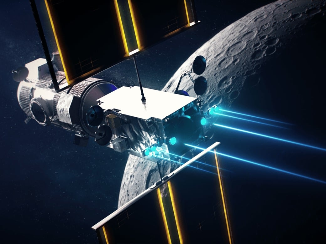
Spy Satellites
The Russian invasion of Ukrainian territories coincided with a commercial surveillance satellite boom.
Since the war started in Ukraine, Russian troop movements have been hunted by the Ukrainian forces through imagery from a growing number of commercial spy satellites, giving Kyiv access to intelligence once the domain of only a few governments.
Data of the satellite imagery was given to the US and allied governments, and sometimes directly to Kyiv authorities in order to repel Russia’s invading force; even the humanitarian groups had access to the information to help them map the chaos and evacuate civilians.
Even before the Russian troops spread into Ukraine, satellites could give the Kremlin's plans. When Russian president Vladimir Putin claimed that his troops massing at the border were pulling back, satellites showed the opposite, “and that Russia had built a bridge from Belarus for tanks to cross a river into Ukraine,” according to the same source.

“No one knew to look at that area,” Planet Labs PBC co-founder and chief executive Will Marshall said.
The imagery provider working with the Pentagon was able to mark the bridge as its fleet of about 200 satellites scanning all of Ukraine once a day, Mr. Marshall said.
“The company’s satellites have a resolution of around nine feet, a measure of the level of detail the sensors can image, and can spot changes on the ground,” The Wall Street Journal reported.
An Integral Part
The detection was not about optical imagery being gathered, some of these satellites can even spot through clouds to successfully track Russian troop movements at night, according to what industry officials said.
Despite its informality, the commercial spy satellites are now becoming an integral part of the Russia-Ukraine conflict providing valuable intelligence to Ukraine in order to help tackle Russian troops and also expose civilian destruction and Putin's war crimes.
Senior US national security officials and industry executives say reasonable satellite prices for hire have given the right version of the war, making it harder for Russia to dissemble about its military actions.
As so much information has been already revealed to the public, US intelligence agencies could declassify and share some of their own secrets.

Referring to the U.S. military's use of satellite navigation for precision operations in the 1991 conflict, John Serafini, CEO of HawkEye 360 said that “commercial geospatial data is to the war in Ukraine what GPS was to Desert Storm 30 years ago.”
Despite being in its first decade, this satellite has a constellation to gather radio-frequency signals from space.
According to industry officials, satellites have also been used to track refugee flows and detect mass graves in Ukraine.
History
The Emergence of spy satellites dates back to the early days of the space race.
A few months after the Soviet Union’s launch of the first artificial satellite Sputnik in 1957, “then-President Dwight D. Eisenhower approved plans for the US to develop and launch spy satellites. Images from those early spacecraft had a resolution of roughly 25 feet,” according to WSJ.
Government monopoly began to change with the launch of the Ikonos satellite in 1999, the commercial Earth-imaging spacecraft provided a resolution of about 3 feet.
More Earth-imaging satellites were launched, “users became more familiar with what they could provide, and spacecraft showed greater detail,” said Stephen Wood, a senior director for Maxar Technologies Ltd., which has four operational satellites in orbit.
Maxar, the leading provider of Ukraine imagery to the media like The Wall Street Journal, during the Russian invasion, uses cameras with a resolution down to 12 inches.
“The company can reposition onboard cameras to collect imagery of what’s happening on the ground across a larger area, including border regions with Ukraine,” Mr. Wood said.
The government intelligence agencies viewed these commercial spy satellites with suspicion, and now they are loyal customers.
Government spy satellites of the US amount to billions of dollars and take to be built, however, the commercial spy satellites are cheaper and can fill gaps.


